Tateno
Download PDF data sheet
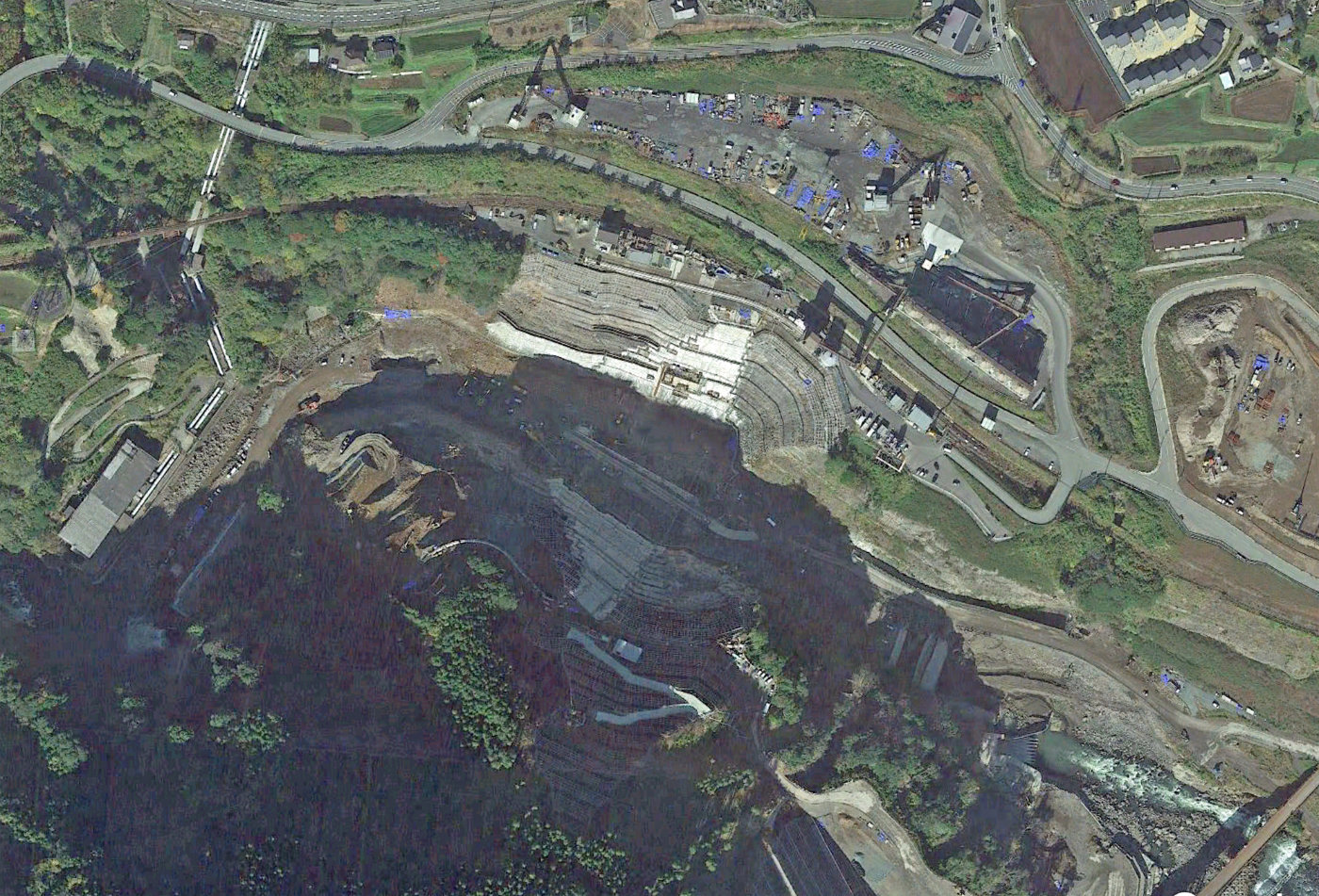
Tateno on Google Earth
Particulars
Owner: unknown
Designer: unknown
Contractor: unknown
Statistics
Type: Gravity
Purpose(s): Flood Control
Reservoir capacity: unknown
Height: 87 metres
Length: unknown
Volume of RCC: unknown
Total volume: unknown
Construction Dates
Start of Project: —/18 (— 2018)
Start of RCC: —/21 (— 2021)
End of RCC: —/24 (— 2024)
End of Project: —/26 (— 2026)
Country: Japan
River: Shirakawa
DMS Co-ordinates: 323˚52'31.17"N, 130˚58'23.4"E
DD Co-ordinates: 323.875336, 130.97316
Facings
Upstream
| Slope | Type |
|---|---|
Downstream
| Slope | Type |
|---|---|
Spillway
| Slope | Type |
|---|---|
Placement
| Layers (mm) | Lifts (mm) |
|---|---|
Cementitious material
| Cement (kg/m3) |
|---|
| Pozzolan (kg/m3) | Pozzolan Type |
|---|---|