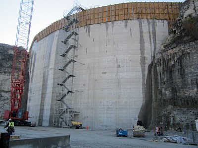
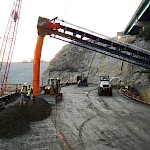
Thornton Gap (Tollway)
Download PDF data sheet
Thornton Gap (Tollway) completed

Particulars
Owner: unknown
Designer: MWH
Contractor: FH Paschen/Cabp
Statistics
Type: Gravity
Purpose(s): Flood Control
Reservoir capacity: 1 m3x106
Height: 35 metres
Length: 69 metres
Volume of RCC: 25 m3x103
Total volume: 25 m3x103
Construction Dates
Start of Project: 02/10 (February 2010)
Start of RCC: 06/11 (June 2011)
End of RCC: 09/11 (September 2011)
End of Project: 11/11 (November 2011)
Country: USA
River: -
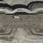
DMS Co-ordinates: 41˚34'47.71"N, 87˚37'8.08"W
DD Co-ordinates: 41.579918, -87.618912
Facings
Upstream
| Slope | Type |
|---|---|
| Vertical | RCC against formwork (GEVR/GE-RCC) |
Downstream
| Slope | Type |
|---|---|
| RCC against formwork (GEVR/GE-RCC) [stepped face] |
Spillway
| Slope | Type |
|---|---|
| RCC against formwork (GEVR/GE-RCC) [stepped face] |
Placement
| Layers (mm) | Lifts (mm) |
|---|---|
| 300 | 300 |
Cementitious material
| Cement (kg/m3) |
|---|
| 48 |
| Pozzolan (kg/m3) | Pozzolan Type |
|---|---|
| 79 | Low-lime flyash (ASTM Class F) |


