Kahir
Download PDF data sheet
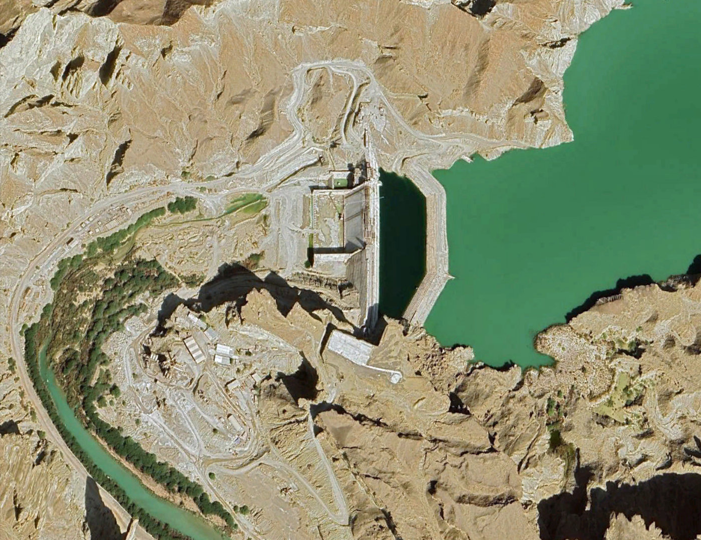
Kahir on Google Earth
Particulars
Owner: Sistan & Balouchestan Water Authority
Designer: Abfan-Pajoohab
Contractor: Jahan Kowsar Co.
Statistics
Type: Hardfill
Purpose(s): Irrigation / Water Supply
Reservoir capacity: 314 m3x106
Height: 55 metres
Length: 383 metres
Volume of RCC: 550 m3x103
Total volume: 730 m3x103
Construction Dates
Start of Project: 11/10 (November 2010)
Start of RCC: —/14 (— 2014)
End of RCC: 07/22 (July 2022)
End of Project: 08/25 (August 2025)
Country: Iran
River: Kahir
DMS Co-ordinates: 25˚37'49.11"N, 60˚08'34.21"E
DD Co-ordinates: 25.630308, 60.142838
Facings
Upstream
| Slope | Type |
|---|---|
| 0.80 | Reinforced conventional concrete cast after RCC placement |
Downstream
| Slope | Type |
|---|---|
| 0.80 | Reinforced conventional concrete cast after RCC placement |
Spillway
| Slope | Type |
|---|---|
| 0.80 | Reinforced conventional concrete cast after RCC placement |
Placement
| Layers (mm) | Lifts (mm) |
|---|---|
Cementitious material
| Cement (kg/m3) |
|---|
| Pozzolan (kg/m3) | Pozzolan Type |
|---|---|