Uchigatani
Download PDF data sheet
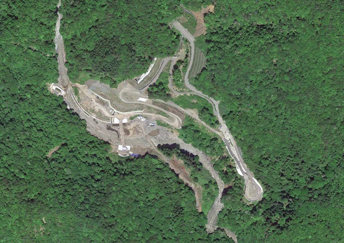
Uchigatani on Google Earth
Particulars
Owner: unknown
Designer: unknown
Contractor: unknown
Statistics
Type: Gravity
Purpose(s): Flood Control / Hydropower
Reservoir capacity: 12 m3x106
Height: 84 metres
Length: 270 metres
Volume of RCC: unknown
Total volume: 328 m3x103
Construction Dates
Start of Project: —/14 (— 2014)
Start of RCC: —/18 (— 2018)
End of RCC: —/24 (— 2024)
End of Project: —/26 (— 2026)
Country: Japan
River: Kibishima
DMS Co-ordinates: 35˚46'45.60"N, 136˚51'45.75"E
DD Co-ordinates: 35.779331, 136.862701
Facings
Upstream
| Slope | Type |
|---|---|
Downstream
| Slope | Type |
|---|---|
Spillway
| Slope | Type |
|---|---|
Placement
| Layers (mm) | Lifts (mm) |
|---|---|
Cementitious material
| Cement (kg/m3) |
|---|
| Pozzolan (kg/m3) | Pozzolan Type |
|---|---|