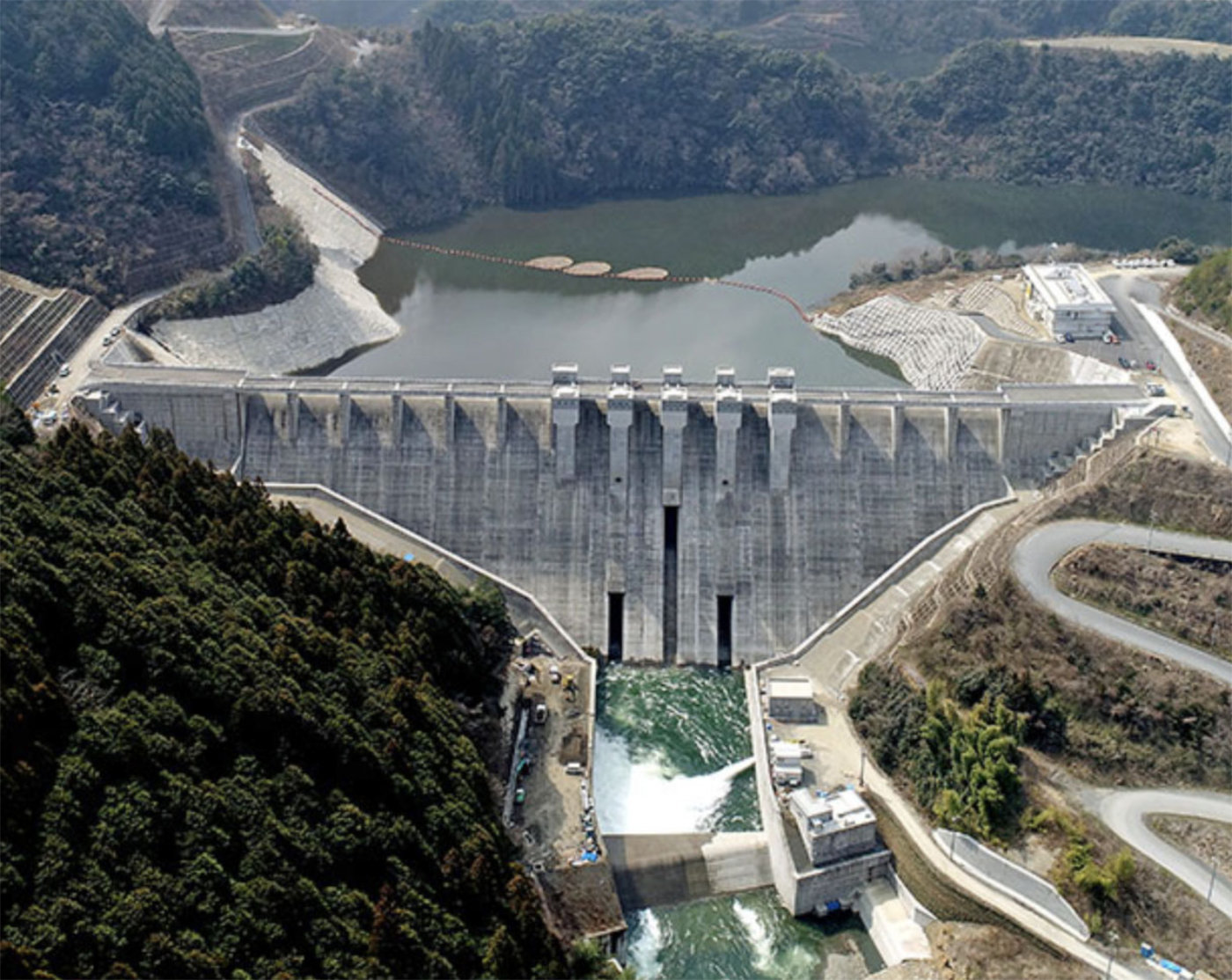
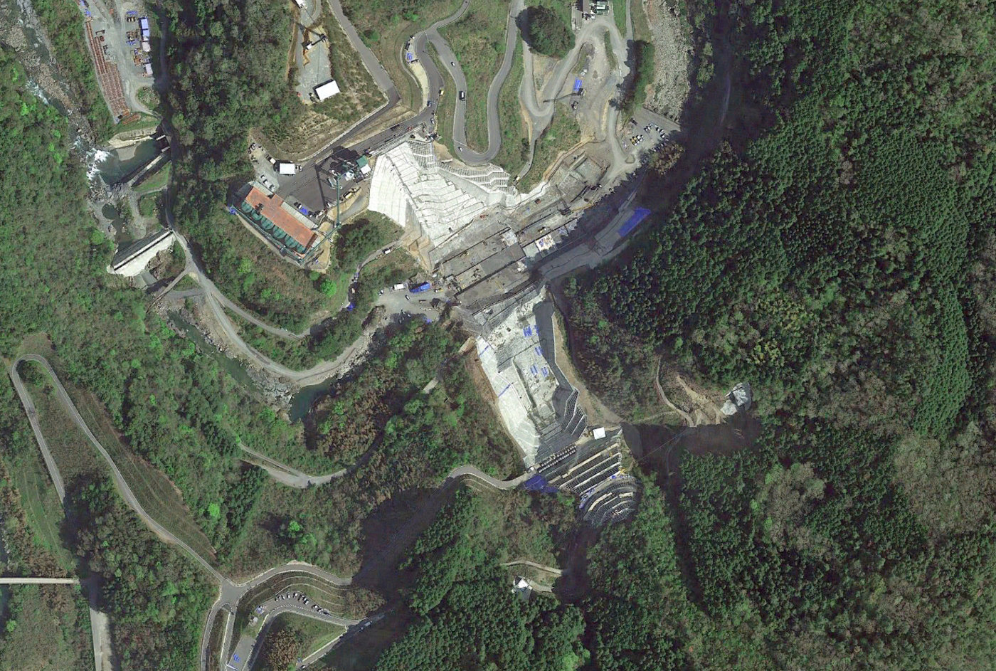
Hirase
Download PDF data sheet
Hirase completed
Particulars
Owner: unknown
Designer: unknown
Contractor: unknown
Statistics
Type: Gravity
Purpose(s): Flood Control / Hydropower / Water Supply
Reservoir capacity: 30 m3x106
Height: 73 metres
Length: 300 metres
Volume of RCC: unknown
Total volume: 340 m3x103
Construction Dates
Start of Project: —/10 (— 2010)
Start of RCC: —/16 (— 2016)
End of RCC: —/23 (— 2023)
End of Project: —/24 (— 2024)
Country: Japan
River: Nishiki
DMS Co-ordinates: 34˚15'14.92"N, 131˚56'15.32"E
DD Co-ordinates: 34.254147, 131.937592
Facings
Upstream
| Slope | Type |
|---|---|
Downstream
| Slope | Type |
|---|---|
Spillway
| Slope | Type |
|---|---|
Placement
| Layers (mm) | Lifts (mm) |
|---|---|
Cementitious material
| Cement (kg/m3) |
|---|
| Pozzolan (kg/m3) | Pozzolan Type |
|---|---|