Biratori
Download PDF data sheet
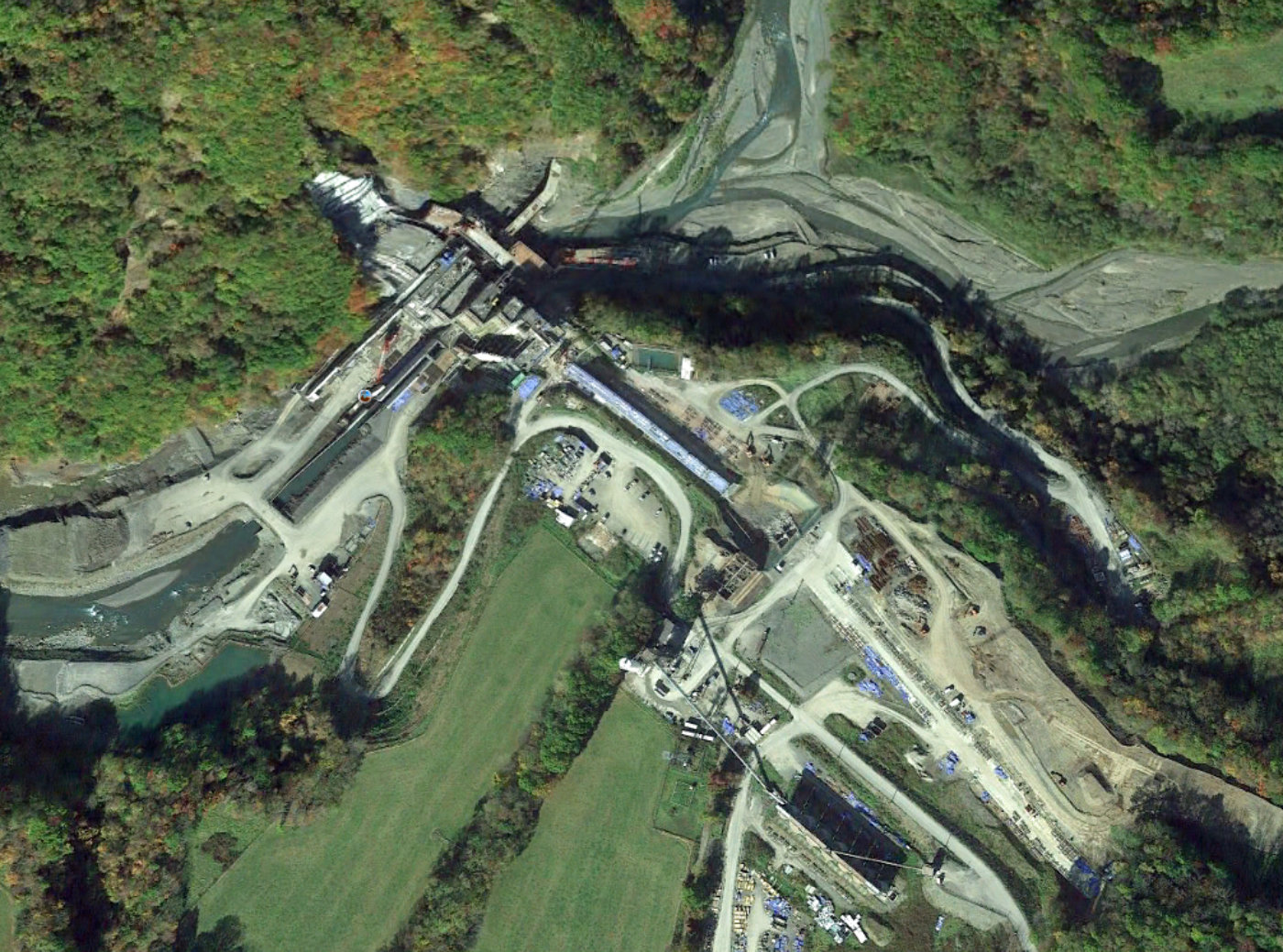
Biratori on Google Earth
Particulars
Owner: Ministry of Land, Infrastructure, Transport and Tourism
Designer: Ministry of Land, Infrastructure, Transport and Tourism
Contractor: Maeda Construction Kogyo Co. Ltd & Tamehiro Connstruction Co. Ltd. JV
Statistics
Type: Gravity
Purpose(s): Flood Control / Hydropower / Irrigation / Navigation / Water Supply
Reservoir capacity: 46 m3x106
Height: 57 metres
Length: 600 metres
Volume of RCC: unknown
Total volume: 180 m3x103
Construction Dates
Start of Project: —/73 (— 1973)
Start of RCC: —/87 (— 1987)
End of RCC: —/19 (— 2019)
End of Project: —/21 (— 2021)
Country: Japan
River: Nukapira
DMS Co-ordinates: 42˚40'49.09"N, 142˚23'10.49"E
DD Co-ordinates: 42.680302, 142.386246
Facings
Upstream
| Slope | Type |
|---|---|
| Vertical | Traditional concrete against formwork |
Downstream
| Slope | Type |
|---|---|
| 0.78 | Traditional concrete against formwork |
Spillway
| Slope | Type |
|---|---|
| 0.78 | Traditional concrete against formwork |
Placement
| Layers (mm) | Lifts (mm) |
|---|---|
Cementitious material
| Cement (kg/m3) |
|---|
| Pozzolan (kg/m3) | Pozzolan Type |
|---|---|